The Barranco de Agua is in the Sot de Chera natural park. The ravine lives up to its name with the very impressive Waterfall of Garita. However, the waterfall is not the only reason to visit, on our route we enjoyed plenty of caves and stunning views.
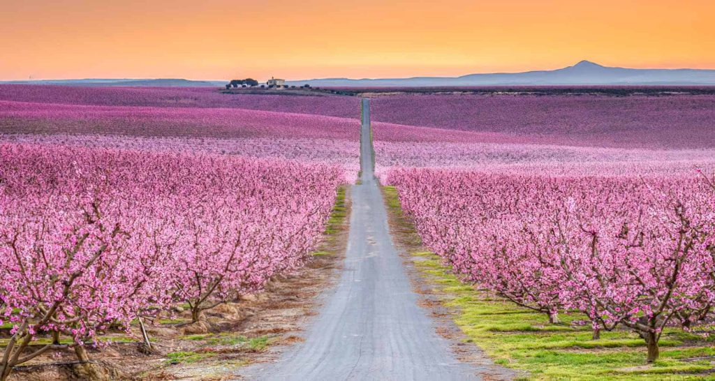
We started from the town of Chera and the very first part of the route took us along a small and pretty river and then via a road with groves of blossoming almond trees on either side. The rocky trail we took led us uphill and we soon enjoyed wonderful views of Sot de Chera with every step.
Before we reached the Dolomites at the peak, we turned off the main trail to take a short detour to the first cave of the day. Cueva Negra is easily accesible via a mostly flat path and provides yet another angle for vistas of the area.


We returned to the main path and started walking through a forest which provided some welcome shade on a hot day. On our way to the Dolomites, we discovered the remains of a round building. No one was sure what it would have been and guesses ranged from a charcoal kiln to a very small snow well.
The El Fraile peak of the Dolomites has great rocks for climbing and many interesting formations such as the pinnacle rock. Being at the top we got spectacular views in all directions.


We left the peak and went down the other side into the beautiful ravine Barranco de Agua. The ravine is full of wild rosemary, trees as well as some almond blossoms. We were the only people there which made it a peaceful experience.
The trail through the valley was mostly flat or downhill and it was excellent for both running and walking down. Although there were a few steep descents it was not too difficult therefore we could fully appreciate the splendour of the ravine.


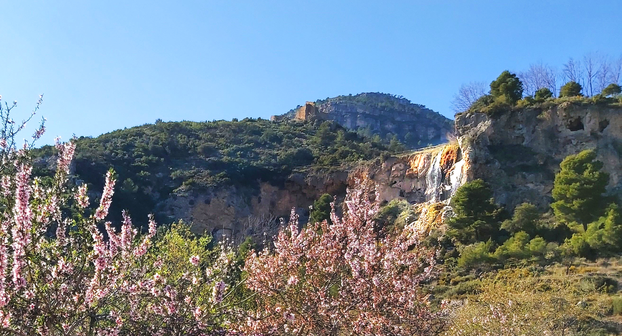
The trail through the ravine ended by a small reservoir and yet more almond trees. From here, we followed the road for a short distance before joining another trail towards the caves and waterfall of Garita. On this trail we were able to see Chera Castle and the numerous caves in the rock face.
The paths to the caves have fences and ropes to guide you and most of the caves are easily explorable. Having explored our second lot of caves for the day we headed for the stunning waterfall of Garita. Here we tested the water (cold and tasted of minerals) and stopped for a very picturesque lunch next to the falls.


From our lunch spot there was a path upwards. We made good use of the ropes and fences provided to get closer to the waterfall. With care and a willingness to get wet, it is possible to walk behind the waterfall. Doing this gives a truly awesome and unique view of the area through the cascades of water.
Another unique view of the waterfall and Chera area came from a cave that is a little further up. With a torch, it is possible to go through a cave that ends with a natural window between the rocks. From here you are level with the top part of the waterfall and get both a great side profile of the falls as well as views looking down across the valley.


Somewhat reluctantly we left the caves and the waterfall. However we were soon walking through fields of almond trees in full bloom and enjoying the drying power of the sun after the waterfall. From here it was an easy 20 minute walk back to Chera where the hike finished.
Everyone agreed that this was one of the best routes ever. There were so many interesting features to explore and fantastic scenery all around. Each time we thought we had found the highlight of the route, something even better was just around the corner.


Leave a Reply